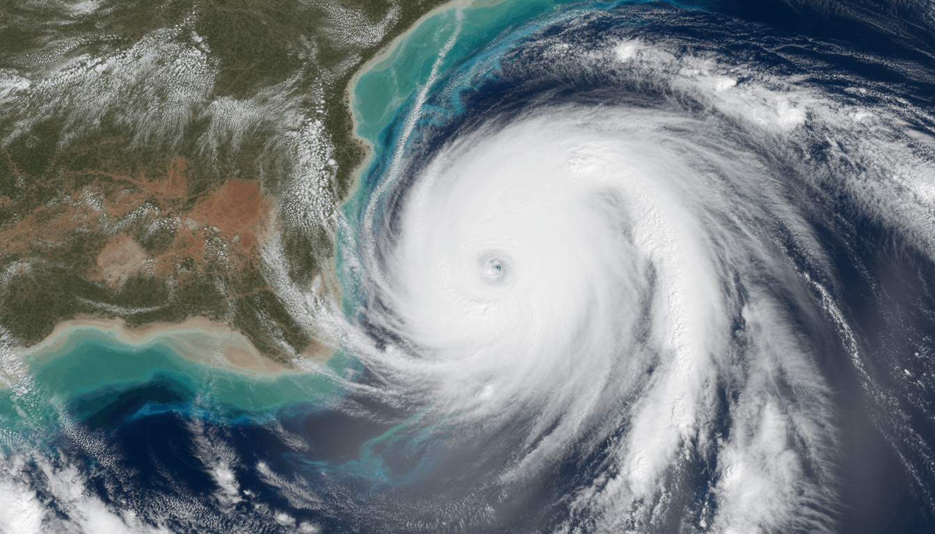
Tropical Cyclone Narelle has re-emerged off the coast of Western Australia and is increasing in intensity, with an immediate warning being issued to coastal residents in the Kimberley area. The system that was downgraded to a tropical low a few days ago is currently moving south-west and may intensify into a category four storm within 24 hours, with destructive winds of up to 140 kilometres per hour.
Broome to Dampier Peninsula residents are being encouraged to complete emergency plans, with heavy rain and storm surges posing a threat to low-lying communities. Local governments have opened evacuation centres and recommend avoiding non-essential travel on major highways. Perth and the south-west are also on alert for potential heavy downpour later in the week in case the cyclone continues along its current route.
The storm comes after a week of unruly weather across northern Australia, with extensive flooding in Queensland and the Northern Territory. The emergency services are strained, and over 10,000 sandbags have already been distributed in areas prone to flooding. Power blackouts will occur, and people have been warned to hoard necessities and lock their properties.
Meteorologists say rapid intensification may still occur due to warm sea surface temperatures in the area. It is predicted that the cyclone will hit the Kimberley coast and dissipate inland. The State Emergency Services teams are standing by to participate in rescue and recovery after the storm.
Societies are responding to the call to remain updated via official sources. Officials are emphasising that early planning will help reduce damage and save lives as the system trudges on the state.