Why New Apartments Cluster Along Melbourne's Tram Routes: The Planning Logic Explained
It is not an accident that so many new apartment blocks rise along tram corridors, it is deliberate state planning policy, and understanding it helps explain why some streets are targeted for density and others are protected from it.
A network built into the planning rulebook
Melbourne’s trams are not just a transport curiosity, they are a structural input into how the city is planned. State and local planning policy in Victoria explicitly directs new housing growth toward areas with good access to established public transport, and the tram network, being the largest of its kind in the world, is one of the main tools planners use to decide where that growth should go.
This matters for property because zoning is not random. Councils and the state government use planning schemes to designate certain corridors and precincts as suitable for higher-density housing, apartment towers, and mixed-use development, while other areas, often just one or two streets away, are protected through heritage overlays or neighbourhood character controls that limit what can be built. Proximity to a tram line is one of the clearest signals of which side of that line a property is likely to sit on.
The 20-minute neighbourhood idea
Victoria’s metropolitan planning strategy, known as Plan Melbourne, is built around the concept of the ‘20-minute neighbourhood’, the idea that most daily needs, shops, schools, healthcare, parks and transport, should be reachable within a short walk, cycle or local trip from home. Tram stops are treated as anchor points for this model because they offer frequent, all-day service without requiring a car.
In practice, this means planning authorities favour concentrating new dwellings within easy walking distance of tram stops, particularly along routes that also carry buses or intersect with train stations. It is why you will often see a cluster of newer apartment buildings hugging a tram route through an inner or middle suburb, with the established single and double-storey housing stock continuing largely unchanged a few blocks back from the line.
Activity centres and structure plans
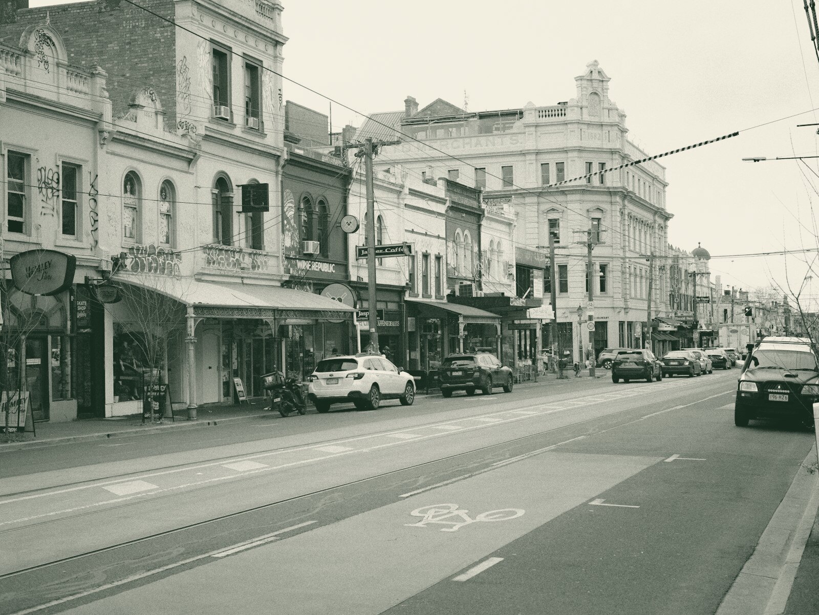
A lot of this steering happens through what planners call activity centres, defined shopping and mixed-use strips, many of which grew up around tram routes in the first place because trams historically shaped where shopping strips formed. Councils prepare structure plans for these centres that set out how much height and density will be supported, where street frontages must be retained, and where laneways or setbacks are required.
Because many of Melbourne’s classic strip shopping centres, think of the kind of tram-served retail strips found across the inner and middle suburbs, already sit on tram routes, these structure plans frequently reinforce the existing pattern: more building height and more apartments close to the tram and the shops, tapering down to protected residential streets further away. Anyone trying to understand why a permit was approved for a tall building on one corner and refused for a smaller one nearby is often looking at the practical effect of one of these structure plans.
Heritage overlays cut across this logic
It is worth stressing that tram access does not automatically mean higher density is approved. Large parts of inner Melbourne sit within heritage overlay areas that protect the historic character of a street or precinct regardless of how good the tram service is. This is why some of the most tram-well-served pockets of the inner city remain rows of intact Victorian terraces rather than apartment blocks, while newer growth is pushed toward corridors without the same heritage protections. Checking a property’s planning zone and any overlays is therefore just as important as checking the tram timetable when trying to understand what is likely to be built nearby in future.
What this means if you are buying, renting or developing
For anyone with a stake in a property near a tram line, whether as an owner, tenant, investor or developer, the planning dimension adds a layer beyond simple convenience. A block near a tram stop in an activity centre zoned for growth may see more construction, more competing supply, and potentially more noise and disruption over time, but also stronger long-term transport access. A similar-looking block just outside a heritage overlay boundary might face a very different future to one just inside it, even though the tram stop out the front is identical.
The practical step is to look up the applicable planning scheme and zoning for a specific address through the relevant council or the state planning portal, rather than assuming that tram access alone tells the whole story. Zoning maps, heritage overlay listings and any structure plan for the local activity centre are public documents and are the most reliable way to understand what can legally be built nearby, now and in the future.
The bigger picture
Melbourne’s tram network is often described as shaping the city’s lifestyle and property markets, but its deeper role is as a planning tool. State and local government use it to decide where the city should grow up rather than out, which is why the pattern of apartments clustering along tram corridors is not incidental, it is policy made visible in brick and glass.