How Melbourne's Inner Suburbs Each Got Their Character
The terrace houses, workers' cottages and warehouse conversions of inner Melbourne weren't planned to look distinct from each other, but a mix of gold rush wealth, industry and migration made sure they did.
It starts with the gold rush, not the tram
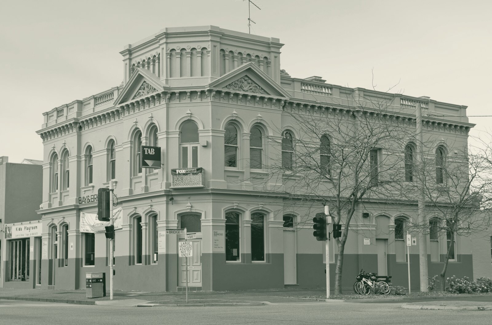
Melbourne’s inner suburbs feel different from each other for reasons that mostly predate the tram network, the cafes and the street art. The bones of the city were laid down in a rush of speculative building in the second half of the 1800s, when gold rush wealth turned a small colonial town into one of the richest cities in the world almost overnight. Developers subdivided farmland at speed to house a booming population, and the character of a suburb often comes down to who was building there, for whom, and how much money there was to spend at that particular moment.
This is why you can walk from a street of grand double-storey terraces with cast-iron lacework into a street of tiny single-fronted workers’ cottages within a few blocks. Both were built in the same boom, but for very different budgets. The wealthier suburbs closer to the Yarra and the hills, and the grander pockets within otherwise modest areas, got the ornate villas. The flatter, cheaper land near factories and rail lines got small, simple houses built quickly and close together.
Industry shaped whole precincts
Many inner suburbs grew up around a specific industry, and that industry left a physical imprint that still shapes the area today. Suburbs near the river and rail lines attracted tanneries, textile mills, breweries and warehouses, because that’s where goods could be moved cheaply. Workers needed to live within walking distance, so tight grids of small cottages sprang up around the factories. When manufacturing declined in the second half of the 1900s, many of those old factories and warehouses stood empty or underused for years before being converted into the apartments, studios and offices you now see in areas known for their industrial-chic buildings. The exposed brick and high ceilings people pay a premium for now were once just cheap, functional industrial space.
Waves of migration left their own layer
On top of this Victorian-era foundation, successive waves of migration reshaped the culture, if not always the buildings, of particular suburbs. Post-war migration from Southern Europe, and later arrivals from Vietnam, the Horn of Africa, China and elsewhere, tended to settle in the more affordable inner and middle suburbs of the time, bringing grocers, churches, social clubs and restaurants that became strongly associated with those areas. As property prices rose and some communities moved further out, the buildings often stayed largely the same while the shopfronts and community life changed again. A lot of what people now think of as a suburb’s essential character, a particular strip of restaurants or a certain kind of corner store, is really just the most recent layer of this ongoing process rather than something original to the place.
Planning decisions locked some of this in
From the mid-1900s onward, town planning schemes and zoning began to formalise what had largely happened by accident or economic necessity. Areas that had grown as industrial precincts were zoned for industry, residential pockets were zoned for housing, and the shopping strips that had organically formed along old horse-tram and cable-tram routes were zoned as commercial strips. This is a large part of why so many inner Melbourne suburbs still have a clear pattern of a busy retail street lined with two-storey Victorian-era shop buildings, with quiet residential streets of small houses running off it. The tram lines came first, the shops followed the tram lines, and the zoning later locked that pattern in place.
Heritage protection came later, and unevenly
It wasn’t until well into the second half of the 1900s that heritage protection became a serious planning tool, after periods of demolition and redevelopment had already erased a good deal of the original Victorian and Edwardian streetscape in some areas. Once heritage overlays and conservation areas were introduced, they were applied unevenly across the inner suburbs, which is one reason some pockets have retained almost an entire intact streetscape of original buildings while others nearby have a patchwork of old cottages sitting next to much newer infill development. Where a heritage overlay exists, it typically restricts what can be changed to a building’s exterior and sometimes controls new development nearby, which is why some streets have barely changed in decades while others a short walk away have been transformed.
Why this still matters if you’re renting or buying
Understanding this layered history is genuinely useful if you’re choosing where to live, not just trivia. A suburb’s current zoning and any heritage overlay affect what an owner can renovate or extend, what kind of development might appear next door, and how much the streetscape is likely to change over time. If this matters to you, the Victorian Heritage Database lets you check whether a specific property or area is heritage listed, and your local council’s planning scheme, available through the Victorian planning portal, sets out the zoning and any overlays that apply to a particular address. These are worth checking directly rather than relying on a suburb’s general reputation, since character can vary enormously from one street to the next.